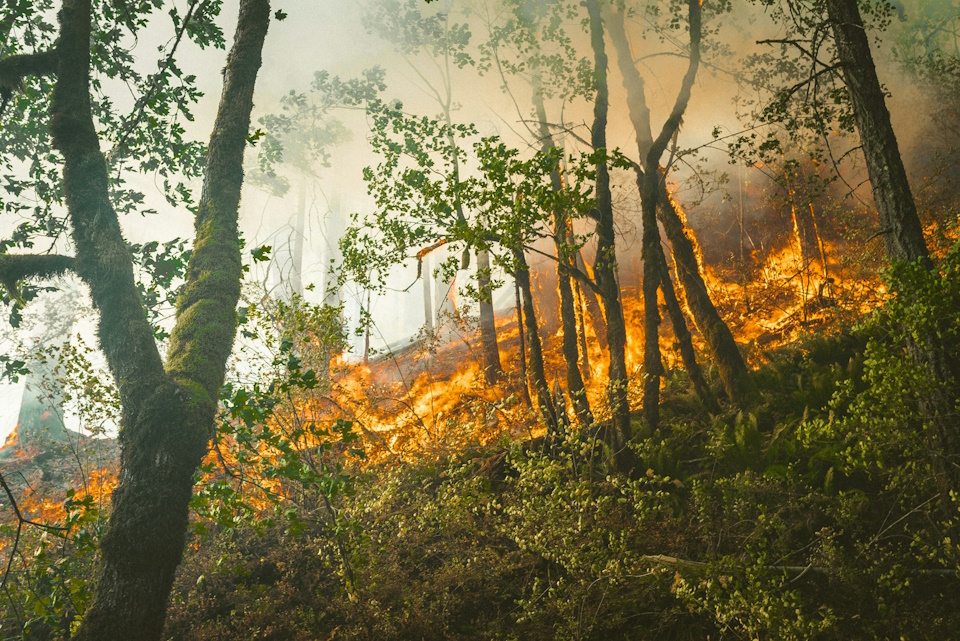
Wildfire near the Lake-Mendocino county line has burned roughly 3,500 acres, prompting evacuations and an emergency closure in Mendocino National Forest as California hunters head into the field.
A fast-moving wildfire in Northern California is affecting public-land access during hunting season. The Lucas Fire, which started Thursday, September 10, near Potter Valley along the Lake and Mendocino county line, expanded from only about 10 acres Thursday morning to more than 1,000 acres that evening and roughly 3,500 acres by Friday. CAL FIRE reported the fire at approximately 3,476 acres and 5% contained Friday afternoon, although subsequent mapping has slightly revised the acreage.
The fire began at approximately 9:18 a.m. on September 10 in remote grass and oak terrain. By 2:39 p.m., it had grown to about 40 acres, reached approximately 400 acres by late afternoon and then rapidly expanded to 1,099 acres that evening. The fire subsequently pushed into Lake County and toward portions of the Mendocino National Forest. The cause remains under investigation.
Impact on Hunters and Mendocino National Forest
The Lucas Fire is especially important for hunters because it is burning near and within heavily used public hunting country. The U.S. Forest Service has issued an emergency closure for a portion of the Upper Lake Ranger District of Mendocino National Forest because of the fire. The affected area includes access around locations such as Middle Creek, Penny Pines and Deer Valley, along with roads, trails and campgrounds in the closure area.
For deer hunters, the fire is primarily affecting country associated with California’s A Zone, including public lands in the Lake County/Upper Lake area. Hunters should also pay attention to conditions near the neighboring B-1 Zone, particularly if the fire continues spreading north or east or if the Forest Service expands its closure.
This distinction is important: the entire A Zone or B-1 Zone is not closed because of the Lucas Fire. The restriction applies to the specific Forest Service closure area and any other areas subject to evacuation orders, road closures or emergency restrictions. Hunters elsewhere in these large hunting zones should verify access before traveling rather than assuming that an entire deer zone is unavailable.
Evacuations and Road Closures
Evacuation orders and warnings have been issued on both sides of the Lake-Mendocino county line. Road closures have also been established as firefighters work the incident. Hunters should not attempt to enter an evacuation or Forest Service closure area even if their planned hunting location itself has not burned.
Roads used to reach hunting areas may be needed by firefighters and emergency vehicles, and conditions can change quickly as the fire perimeter and evacuation zones expand.
Fire Weather Could Complicate the Situation
The Lucas Fire remains a concern heading into the weekend because Northern California continues to face dry conditions and elevated fire danger. Low humidity and gusty winds can increase fire behavior and cause conditions to change rapidly.
Anyone planning to hunt in Lake or Mendocino counties or elsewhere in Mendocino National Forest should check conditions immediately before leaving. A road, campground or trailhead that was accessible when a trip was planned may be closed by the time a hunter arrives.
Monitor the Lucas Fire
Hunters planning to travel anywhere near the affected area should monitor the fire before heading into the field. The most important source is CAL FIRE’s official Lucas Fire incident page, which provides updated acreage, containment, evacuation information and incident maps:
CAL FIRE — Lucas Fire:
https://www.fire.ca.gov/incidents/2026/9/10/lucas-fire/
Hunters using Mendocino National Forest should also check the Forest Service for current emergency closures and restrictions:
Mendocino National Forest — Alerts & Notices:
https://www.fs.usda.gov/r05/mendocino/alerts
Because wildfire boundaries, evacuation zones and Forest Service closures can change within hours, hunters should check these sources again immediately before entering the area.
Hunterizer Helps Hunters Know Where They Can Hunt
Wildfires are another reminder of why knowing exactly where you are hunting matters. California’s hunting zones can cover enormous areas, and a wildfire or emergency closure affecting one portion of a zone does not necessarily close hunting throughout the entire zone.
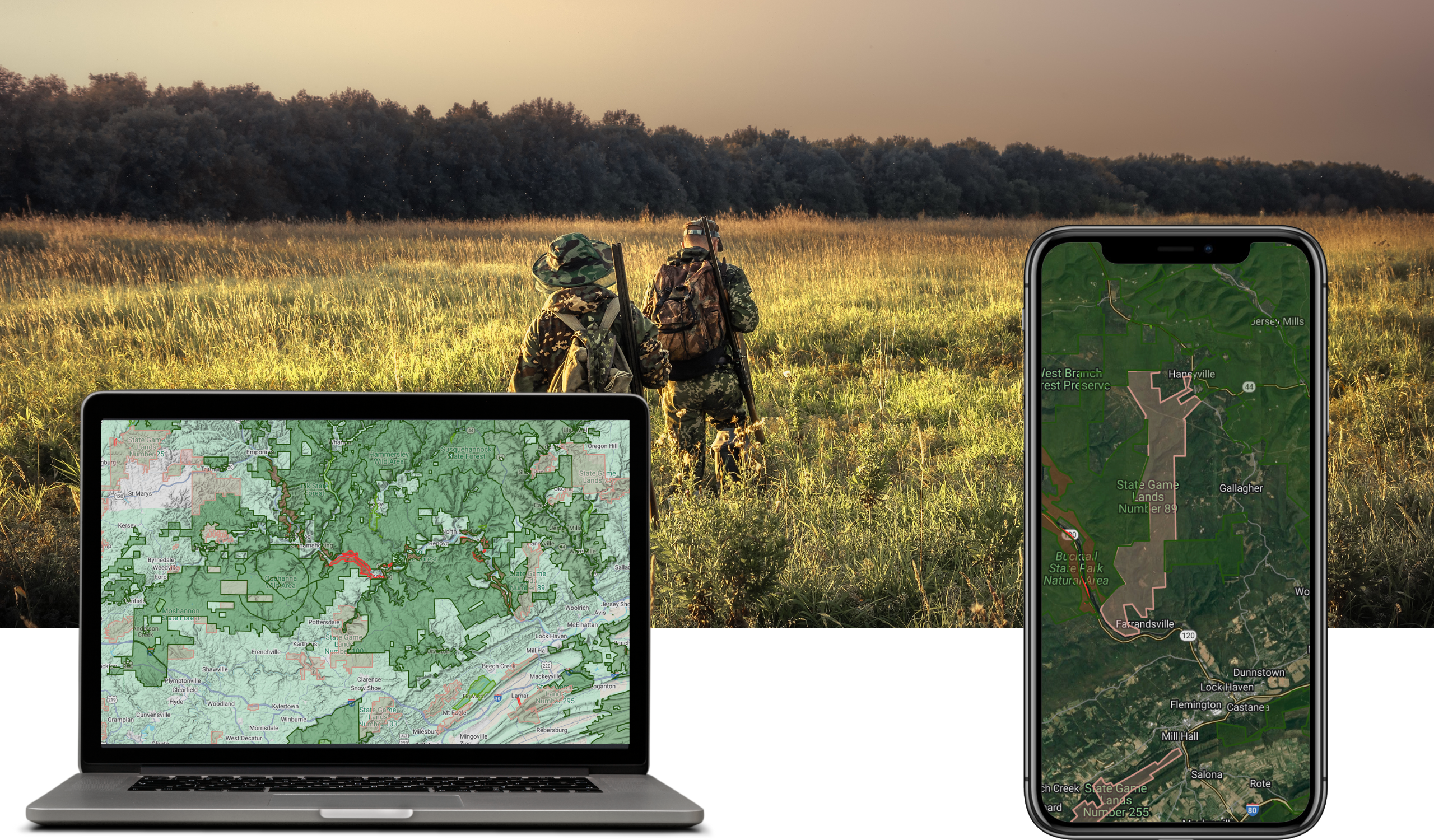
The Hunterizer app helps California hunters identify their hunting zone and quickly check season dates, legal weapons, bag limits, shooting hours and other important regulations for their location. Hunters traveling near the Lucas Fire should combine Hunterizer’s hunting information and maps with current CAL FIRE and U.S. Forest Service closure information before heading into the field.
With fire conditions changing rapidly, always check emergency closures and evacuation information before entering affected public lands.