ABOUT HUNTERIZER
Built by Hunters, for Hunters
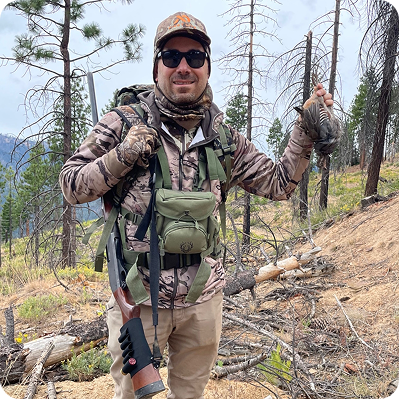
Two real hunters. One mission: make it easier to plan your season, stay legal, and get in the field with confidence.
Short Answer
Hunterizer is a GPS-specific hunting regulation lookup app. Select a location and date, and Hunterizer shows which species are legally open to hunt there, including applicable zones, seasons, bag limits, shooting hours, weapon rules, and source citations.
Hunterizer is a GPS-specific hunting regulation lookup app. You select a location and date; Hunterizer identifies your hunting zone and returns the exact regulations for that coordinate — which species are open, season dates, bag limits, legal weapons, shooting hours, and zone-specific restrictions. It covers 11 states on iOS and Android. The company behind it is Artemida Publishing, Inc., founded by Vlad Powerman and David Boinagrov.
How Hunterizer Got Started
Hunterizer was born from a simple but frustrating moment that Vlad and David experienced firsthand. During a road trip to Death Valley, they spotted a flock of quail in the Panamint Valley but hesitated to take the shot, unsure if it was legal. Later, they realized it was, but by then, the opportunity was gone.
That moment stuck with them. They had heard countless stories of hunters unintentionally breaking the law or missing opportunities because they were unsure of the regulations. Hunting laws were scattered, confusing, and difficult to access in real time — leaving hunters second-guessing themselves in the field.
When they searched for an app that could provide real-time, location-specific hunting regulations, nothing like that existed. So Vlad and David decided to build Hunterizer: a platform designed to make hunting laws clear and accessible, so hunters have the right information when they need it most.
Meet the Hunterizer Team


How the Hunterizer Platform Is Built
We also standardize and optimize the zone structure where appropriate. In many cases, multiple adjacent zones share the same season dates, weapon rules, and other conditions. When that happens, we aggregate them into a single logical zone to reduce complexity while preserving regulatory accuracy.
Next, we organize species into the same species groups used by each state’s regulations. This is important because classifications differ from state to state. For example, turkey is regulated as upland bird in California, but as big game in Pennsylvania. Hunterizer mirrors those state-specific groupings so the underlying logic matches the actual regulatory framework.
We then review the current hunting regulations in detail and import the relevant rule set into our database, including seasons, zone-specific restrictions, species group definitions, and other regulatory conditions that affect whether hunting is allowed.
To keep the data current, we continuously monitor relevant government webpages and datasets for updates. This allows us to detect regulatory or GIS changes early, update our database promptly, and provide hunters with reliable, location-based answers grounded in the latest available official information.
Contact Hunterizer
Contact us via email: info@hunterizer.com
Visit our Facebook page: https://facebook.com/hunting.atlas
Watch the Hunterizer Podcast on Youtube: https://youtube.com/@Hunting-Atlas
and on Spotify: https://open.spotify.com/show/11Q3Fpbh6358qfSiGQ7mGL
Try Hunterizer Free
See every species in season at your location — with full regulations, bag limits, and shooting hours. Available on iOS and Android.


Hunterizer Resources
Explore Related Hunterizer Resources
Jump to the tools and guides hunters use most to plan legal hunts, understand boundaries, and stay current on seasons.